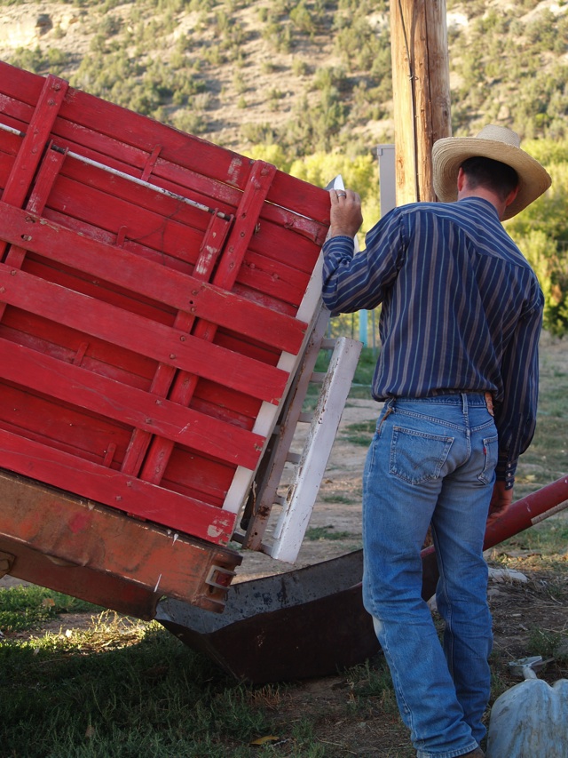
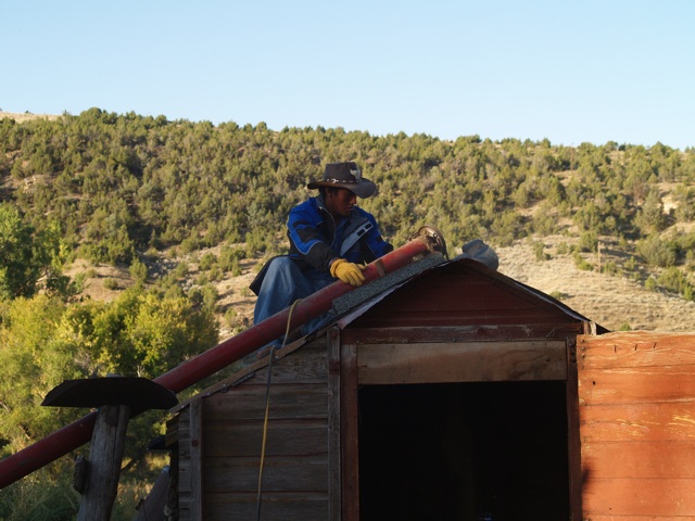
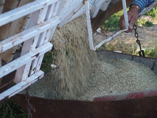
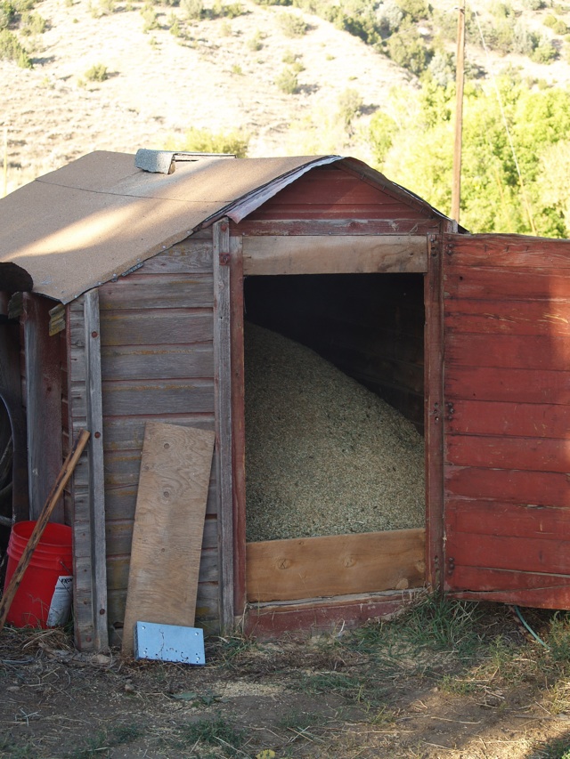
Corral is mended…
Calves are all located and returned to proper corral…
It is time to see some Wyoming country!
We left the snow here…
to find snow on the mountaintops our entire trip!
For instance…
here’s the Owl Creek Mountains near Thermopolis…

Here’s Wind River Canyon…
The name of the river?
The Big Horn!
A little confusion on the part of the mapmakers makes it the Wind River in the canyon and on its upper southern end…
And the Big Horn River once it exits the canyon…

The canyon is gorgeous…

The waters of the Wind are warmed by occasional warm springs…
(Thermopolis is home to the largest mineral hot springs…)
So, in the winter, many ducks linger on the river…
The highway is on one side…
The railroad on the other…
A herd of Big Horn sheep live in the canyon…
Just make sure it is the passenger who looks for them…
not the driver!
Wind River Canyon has taken its share of car wreck tolls…
These three tipis linger throughout the summer on the banks of the Wind…
The access is either by train or boat…
but I’ve never seen anyone there…
The tipis don’t appear to have liners in them…
So I assume they are for show…
not use!
The Wind River Reservation owns the land.
Home to Shoshone and Arapaho Indians…
Washakie, (WASH a key), the chief of the Shoshone, is the only chief I know of that actually got to choose the land that composed his reservation…
And for fun…
There are three tunnels at the south end of the canyon!
Just beyond the tunnels is Boysen Dam.
Wyoming has suffered for years from drought…
Boysen has been the saving grace for most farmers in the Big Horn Basin.
This year…
Boysen has been the fullest it’s been for *years*!
It looks great!
We’ve passed through the towns of Shoshoni and Pavillion/Riverton.
I’ll let you look those up on Google Earth…
Their street view is much better than what I can photograph!
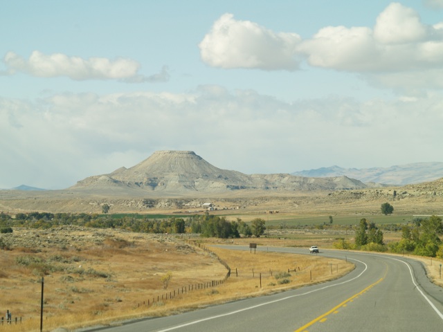
We’re almost to Crowheart, Wyoming.
Named after this large butte…
it is the site of a legendary battle between Chief Washakie and a Crow chief named Big Robber.
The one on one duel was to prevent further losses to the warring tribes who fought over hunting rights.
Washakie was the winner, and to honor the bravery of his opponent…
he cut out Big Robber’s heart and paraded it on his lance…
Thus Crowheart Butte.
It is easy to see the difference water makes in this country…
The natural brown/grey hues change quickly to green with irrigation!

Then appear the Painted Hills near Dubois.
It is DOO BOYS…
not DOO BWA!
We don’t speak French in Wyoming…
It is a gorgeous area…
Unfortunately it is growing a great crop of “cabins” just about everywhere you look…

Onward to Togwotee Pass…
That’s TOE Ga Tee…
A subchief under Washakie…

It is under construction!
A little slick too…
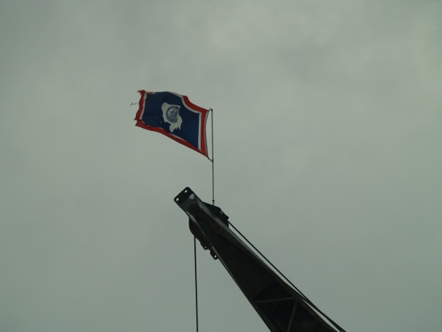
Patriotic Wyoming construction workers…
got to love ’em!
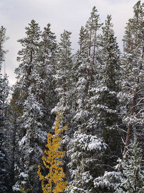
A little fall…
A little winter…
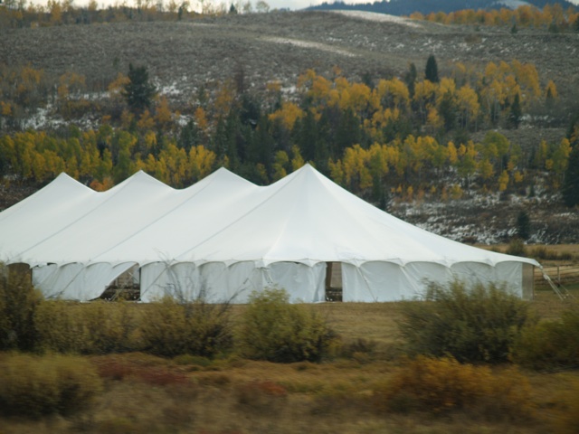
We missed the party…
or wedding…
or circus…
impressive tent though!
The sun was setting…
We were almost to our destination for the evening…
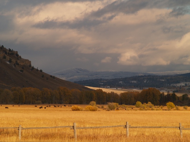
The buffalo were contentedly grazing…
What was opposite the buffalo is the most photographed area of Wyoming…
Guess what it is?
Or come back tomorrow to see MY photos!
Find me here!
